Everyday
Who's home, who's on the way, where the kids got dropped off. Ask the AI teammate "where's Mom?" and it answers in chat.
One private map with everyone on it, a chat that keeps working, and an AI teammate you can ask. Here's where that matters, and what we'd set up for each.
Your household on one private map that goes wherever you go. TAK works anywhere your phones have data. Mesh radios cover the places they don't.
Who's home, who's on the way, where the kids got dropped off. Ask the AI teammate "where's Mom?" and it answers in chat.
Kids on one run, parents on another. A tag in each jacket keeps everyone on the map, even where the mountain kills cell service.
A small radio in each person's bag and a base station in the cabin. The family stays on the mesh around the ship with no ship Wi-Fi and no roaming charges. Steel decks block radio, so we plan where the base goes.
Split up, ride different rides, meet at the marker. Nobody has to text "where are you?" into a dead signal.
Cars in a convoy see each other and chat between vehicles on empty highways. Hikers carry a tag. Camp gets a solar relay.
Hurricane, wildfire evacuation, earthquake, a long power or cell outage. Local alerts on your map, your family on the mesh, and a plan you've already practiced.
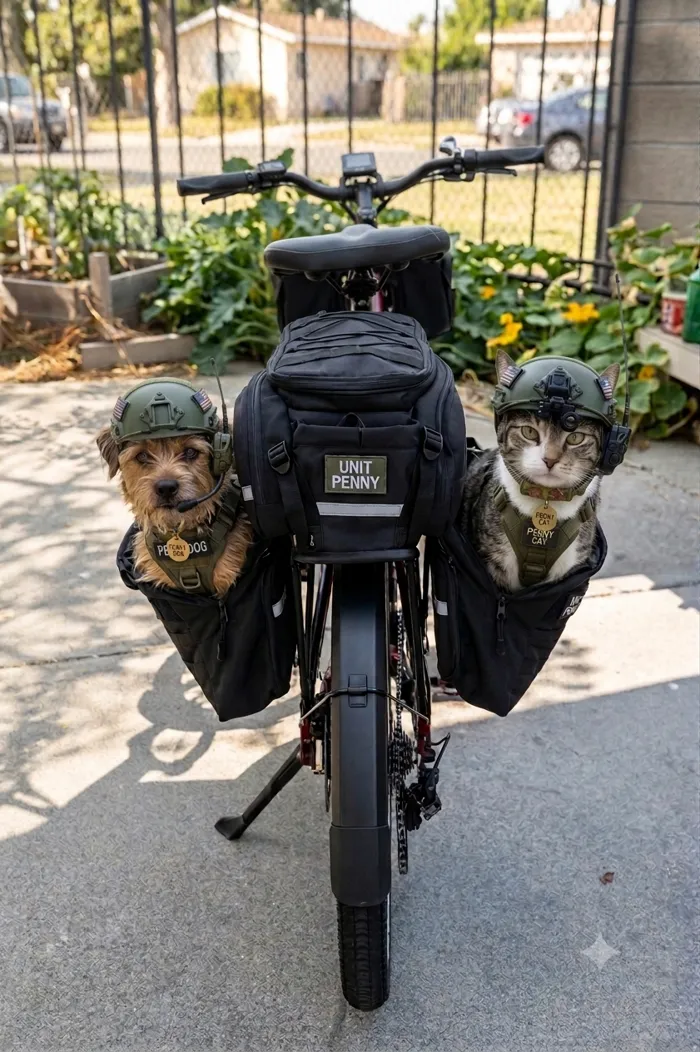
A small waterproof tag on a collar puts your dog on the same map as your family. When it wanders, you see where it went instead of driving the neighborhood. The same tag rides on a bike, in a backpack or on a set of keys.
At a stadium, a festival or a race, everyone's phone fights for the same cell towers and texts stop going through. LoRa radios don't use the towers at all, so your group keeps talking.
Friends spread across stages and campsites, still on the map and in the chat. A solar relay at camp covers the grounds.
Tailgate, seats, concessions. Find each other after the game without waiting for a text to send.
Runners and riders carry tags, so family and crew can see where they are on the course and meet them at the finish.
Security, medical and volunteers on one map with one chat, so a call for help reaches the closest person even when the crowd has the network.
Waterproof tags on guards, towers and rescue boats, all on one picture. Dispatch sees who's closest before the radio call ends.
Patrollers on the map from the lift tops down, with relays on the summits where height comes free. Tags work alongside your radios. They are not avalanche transceivers.
Marshals, rangers and grounds crew on the map, carts tagged, and lightning and storm alerts pushed to the people who need to clear the course.
Search teams on the map as they move, with drawn search areas and a chat that keeps working in the canyons.
Hands, trucks and gates across miles of land with no cell service, tied together with solar relays. Add soil, water-tank and gate sensors on the same map.
Know where every climber and truck is on a remote site. Built by someone who's done that work himself.
Crews, vehicles and dig sites on one map, deep in places the cell network never reached.
Guards on the map across a property, with check-ins and an alert when someone needs backup. Fence and gate sensors can report to the same map, no cameras required.
A block or a community on its own mesh, ready before the next storm or quake, with the map and the drills to match.
Teams and organizations: see the Team and Organization plans and the starting kits.
Our radios use the 915 MHz band, which is open to use in the U.S., Canada and much of the Americas. Europe and much of the world use a different band, and some cruise lines and venues have their own rules about radios. Tell us where you're going and we'll check before you pack.
Who, where, and what happens when the signal gives out. I'll reply personally with what I'd set up.
[email protected]Server details and credentials are never posted publicly. They come privately with your setup sheet.